Proton VPN map FAQ
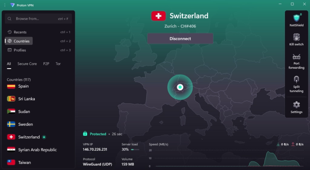
Most Proton VPN apps display a map of the world. The sole purpose of these maps is to provide you with a convenient and intuitive way to locate a server in the geographic location you’re looking for.
In this support article, we address some frequently asked questions about our maps.
Why are you using this representation of a disputed border?
Proton VPN serves the interests of people, not governments, and our area of concern and expertise is around the subjects of privacy, anti-censorship, free speech, and digital freedom. The borders used on our maps default to the generally accepted definition of boundaries (either through UN recognition, de-facto control, or taken from consensus-driven public sources) and do not reflect any political opinion by Proton. They are provided solely to help you navigate the map and find a server that suits your needs.
Why are you showing a country that doesn’t exist or using the wrong name
Again, the country names we use do not in any way reflect a political opinion by Proton, and simply default to the generally accepted names of states.
Note that we also often shorten names for purely practical and aesthetic reasons, as they may be too long to comfortably fit the app’s user interface. For example, we shorten The United States of America → United States, and The United Kingdom of Great Britain And Northern Ireland → United Kingdom.
Why does our flag have the wrong aspect ratio in the app?
We display all flag icons within an app at the same aspect ratio to make them look visually consistent next to other flag icons within the application. This is for aesthetic purposes.
Why is there some other inaccuracy with our flag?
Flag icons must be displayed at a small size to fit within the app interface. At this scale, fine details like text, emblems, or complex patterns may appear simplified or less defined. This is a technical limitation of displaying detailed imagery at small sizes, not an intentional modification.
We understand that national flags carry great significance, and that details can be important. Any visual simplifications made in our apps are purely for technical display purposes, and are not intended to show disrespect to any country or its national symbols.
Why are you using this flag design instead of that of the “true” government in exile or opposition?
The flags we use default to the flags used by the generally accepted de-facto government of that state. They are in no way a comment on or endorsement of a disputed political situation.
Why is the map not accurate when I zoom in?
The maps we use in our apps are vector images. These are composed of points, lines, and polygons, which are defined by mathematical equations, so they don’t lose resolution per se when you zoom in. However, factors such as limitations in data resolution and the use of generalization algorithms to improve performance mean that fine detail and accuracy can be lost if you zoom the map past its intended resolution.